River Kiauna – River Žeimena (up to Liūline campsite)
River Kiauna – River Žeimena (up to Liūline campsite)
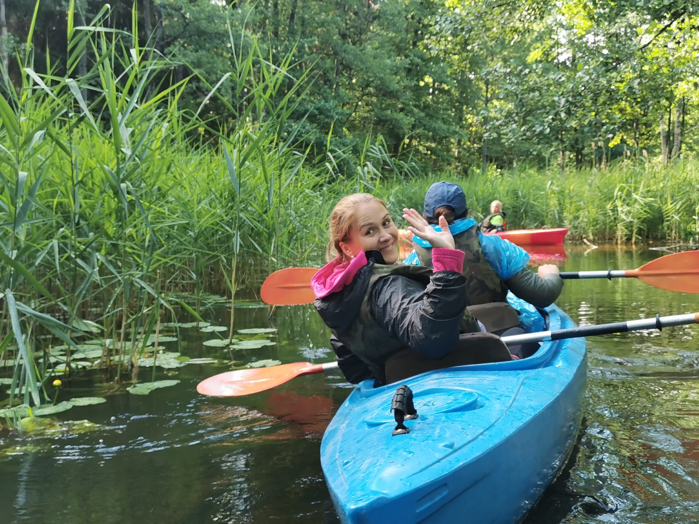
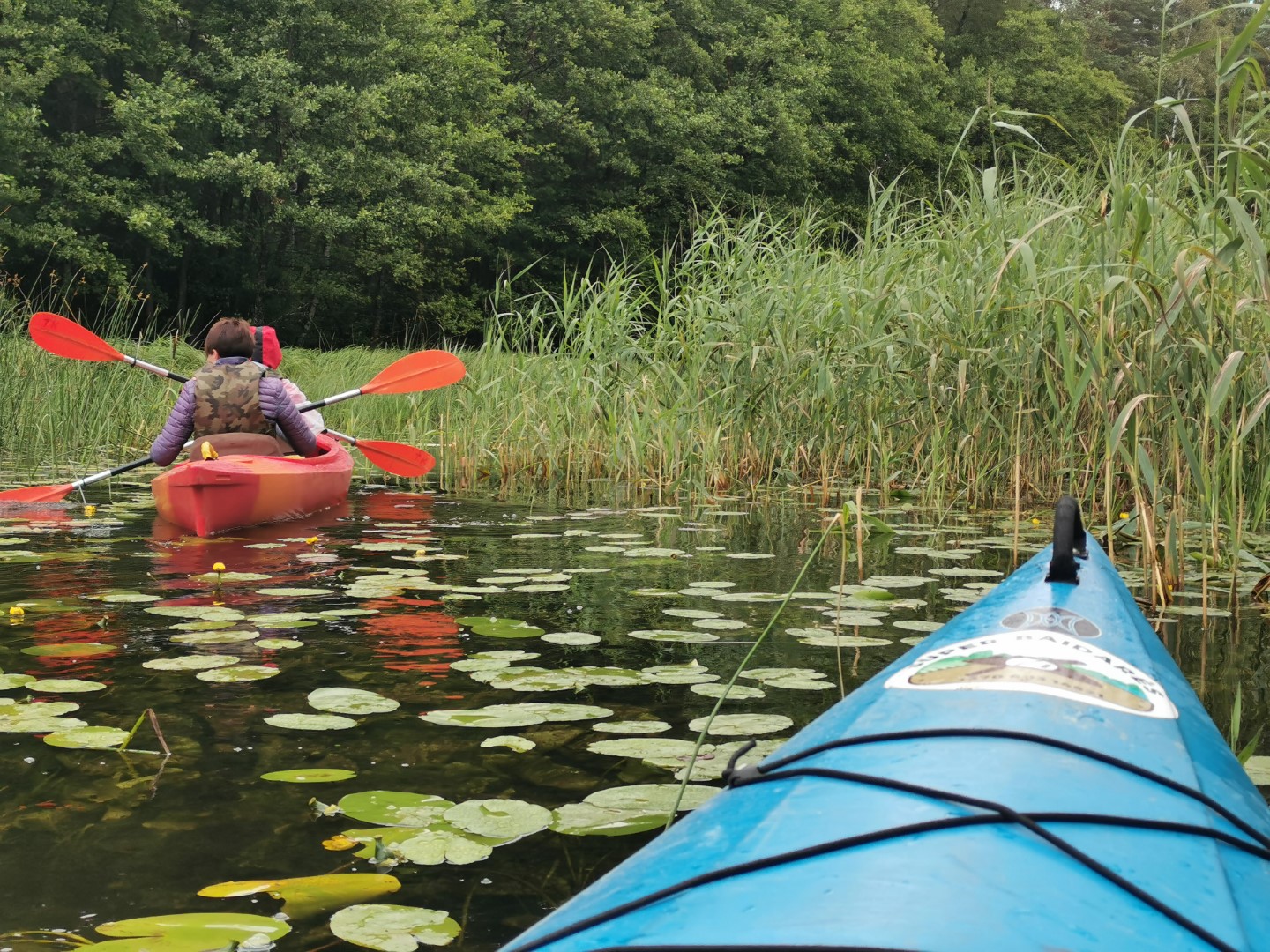
Although you won’t find many places of interest on this route, we recommend this river for its many twists and turns. The Kiauna (a right tributary of the Žeimena River) stretches through the forests and swamps of Labanoras, making kayaking on this river very fun. It’s a fun, spectacular swim, a bit more challenging than Zeimena. The narrow, always watery Kiauna meanders through the Labanoras Sengir. Tree canopies, ever-changing forests, riverside farmhouses, and clear river gates add variety to the journey. There are nice places to stop.
We strongly urge everyone – please do not leave rubbish behind. They can be disposed of at the overnight stay or at the finish line.
A little to the south of the village of Pakiaunis, as far as Kūriniai, the Kiauna Landscape Reserve has been established around the riverbed and its surroundings. And from the village of Kūriniai to Kukliai, it flows through the Pagilūtė Telmological Reserve. To the west of the river, a few hundred metres from the riverbed, the Labanoras Regional Park has been established.
You will start your canoe trip from the bridge at the end of Pakiaunis village. From it, let the kayaks down the Gill. The Kiauna Landscape Reserve starts here. You will sail along the beautiful banks of the Kiauna River, observing the forests and wetland vegetation. You will pass the small and cosy villages of Stirninė, Briedinė, Jakutiškis, Vasiuliškė (the village of Vasiuliškė was the birthplace of the politician and signatory of the Act of March 11, Kazimira Danutė Prunskienė), which are situated next to the Kiauna River. Further on – Žvirbliškė, the village of Kūrinių, recognisable from the drawbridge, and Kukliai. Before the village of Kukliai, you will pass the lakes of Gilūtas and Sekluočis.
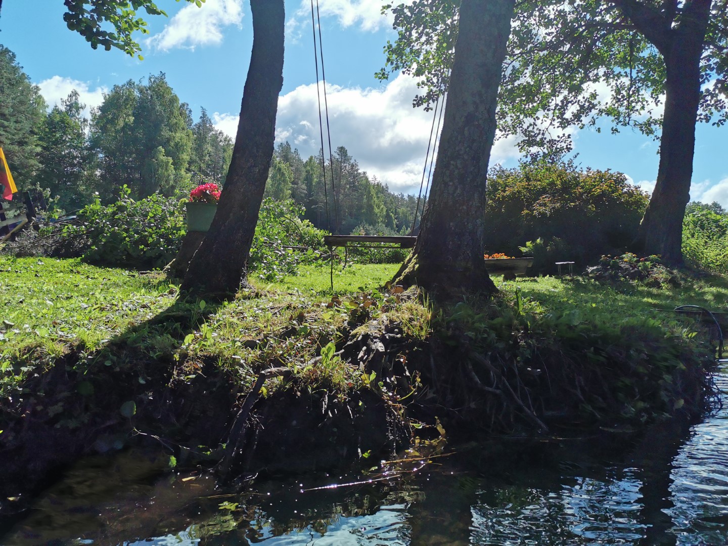
A more extreme section of the river will start from the village of Vasiuliškės. Overturned trees, torrential twists and turns, stone “obstacles” – this is the more adventurous part of the hike, which will continue to the Kūrinių village bridge. The river will gradually straighten out, and a charming avenue of trees will lead you to Gilūtas Lake. From there, keep left – head east for ~0.6 km. to the mouth of the lake. The length of the lake’s mouth is ~800 m. It will take you further to Lake Sekluotis. On the right side of the promenade, you will see a sandy shoreline where you can take a great opportunity to go for a swim. After enjoying the water activities and leaving the clean and tidy surroundings, continue on to Sekluotis, where you should be greeted by royal swans. In shallow water, sail along – eastwards. The lake is not very watery, so the bottom of the canoe will be covered with tall aquatic grasses. You’ve probably already figured out why this lake got its name.
After about 0.75 km, point the kayaks to the right – southwards as you approach the shore. Then follow the river until it flows out of Sekluotis. Soon you will see the village of Kukliai, and after crossing a concrete bridge, about 500 metres later, you will see a marked landing bank on the left side of the river. Here you can stop for a little breather and continue your route.
Just below the confluence of the Kiauna and Žeimena rivers, you will come to a beautiful bend of the Žeimena River, and on your left you will find a beautiful meadow where you can leave your kayaks and take a swim on the sandy shore.
The village of Luknos is another 5 km away. Its second right tributary, the Luknelė, flows into the Žeimena near the village of Lukna. About 5 km from the village of Lukna, on the right side of the Žeimena River, the small Sirgėla River flows into the Žeimena. The territory of Aukštaitija National Park ends at the mouth of the Sirgėla River and the Žeimena Ichthyological Reserve begins. It extends to the confluence of the Žeimena and Neris rivers. The purpose of the Ichthyological Reserve is to protect the spawning grounds of salmon, sea bream and trout.
After swimming about 1 km more and negotiating two steep bends of the Žeimena River, you will find yourself at the confluence of the Žeimena River and Lake Telio, the short Šventelė River. After another 5 km you will reach the town of Švenčionėliai. It has shops, cafés and pharmacies. If you feel like it, when you get to Švenčionėliai, disembark before the first bridge, known locally as the Kirulis Bridge. There is a comfortable sandy bathing area in front of it.
Continue along the Žeimena River towards the village of Liūlinė. From Švenčionėliai onwards, the rivers will be replenished by wetlands and forests. Wherever you pass river bays – don’t mix with the confluences of other rivers. You can tell the true direction of the Žeimena River by the sound of the water and the movement of the vegetation in it.
From Švenčionėliai, after ~8 km, you will see the village of Garnis on your right. As you pass through the village, you will feel the Žeimena becoming more and more winding. The rest of the trajectory will take you to the confluence of the Lakaja and Žeimena rivers. On the right side of the confluence of the rivers you will see a village called Santaka.
From here, swim ~1.5 km to the finish and you will reach the village of Liūlinės, where your finish line is! Immediately after passing under the concrete bridge, moor on the right side.