River Būka – River Srovė (up to the Ginučiai mound)
River Būka – River Srovė (up to the Ginučiai mound)
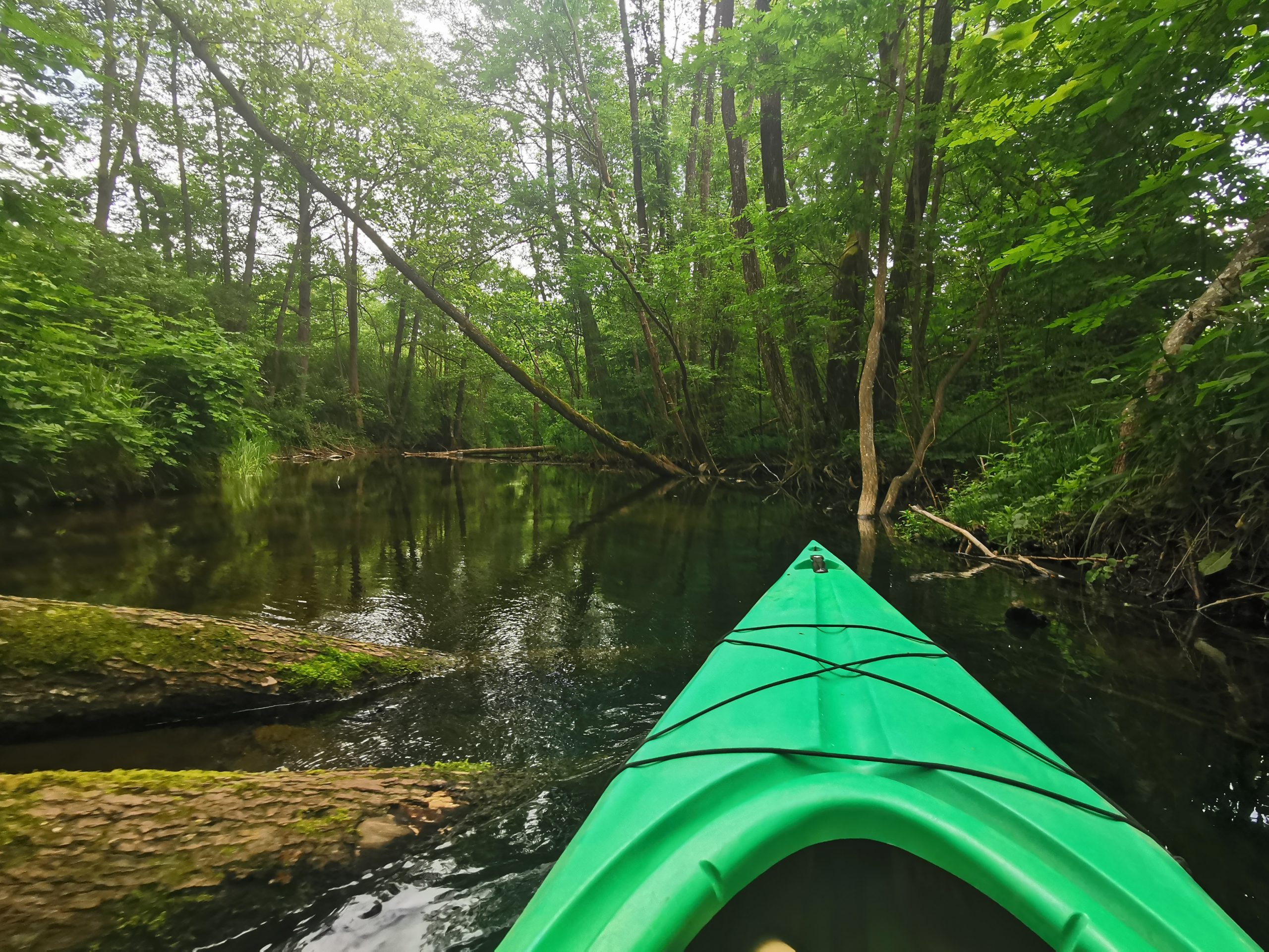
The winding Buka flows exclusively through forested areas all the way to Lake Balchaus.
On its left bank is the Ažvinčiai Forest, on the right – the Vyžiai Forest. The surrounding forests and woods feed the river with their waters, making the Būka one of the cleanest rivers in Lithuania. The Buka used to serve as a route for transporting souls. In the river, you’ll see the remains of wooden dams, which were designed to raise the water level to allow the souls to pass freely.
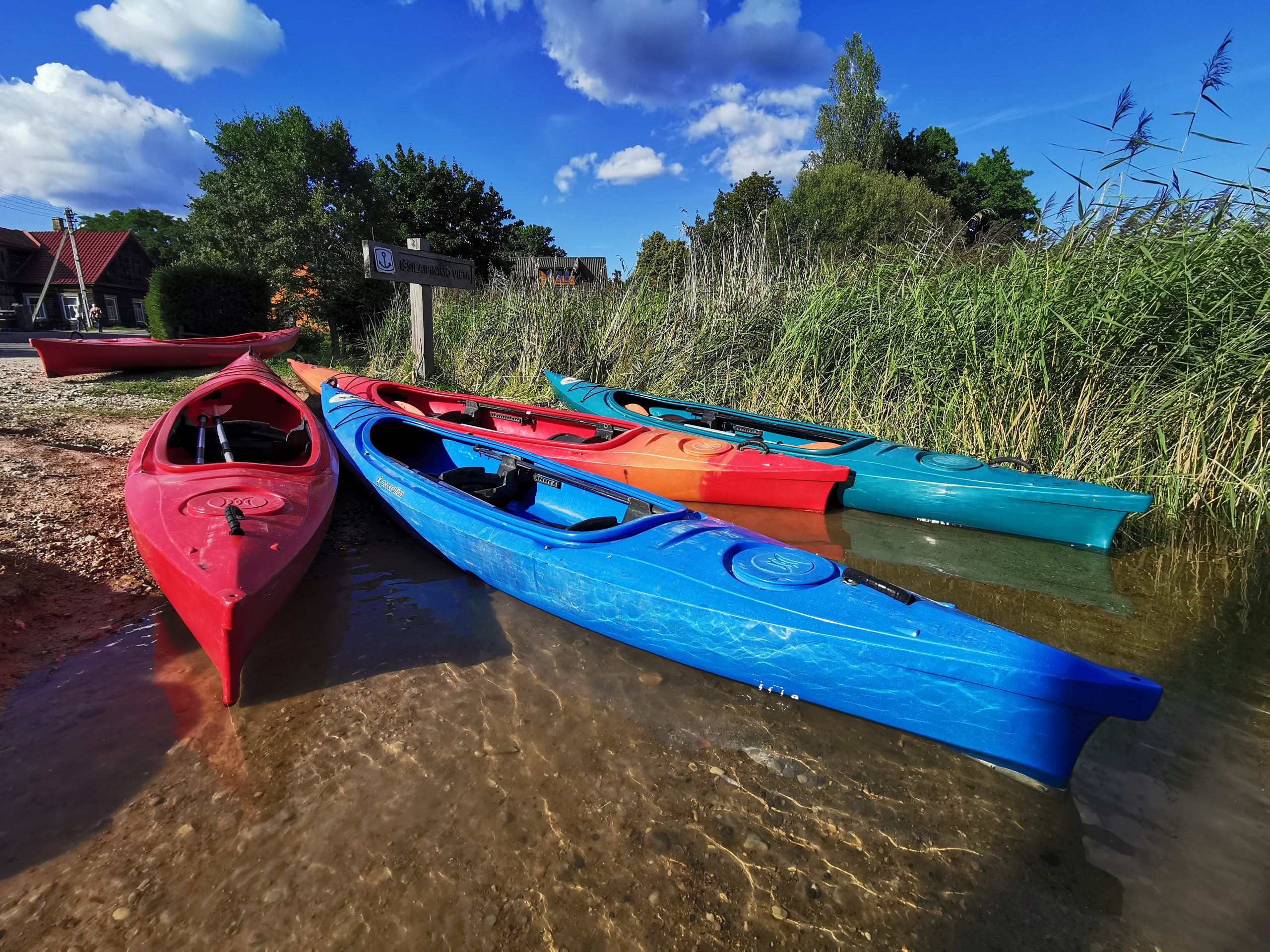
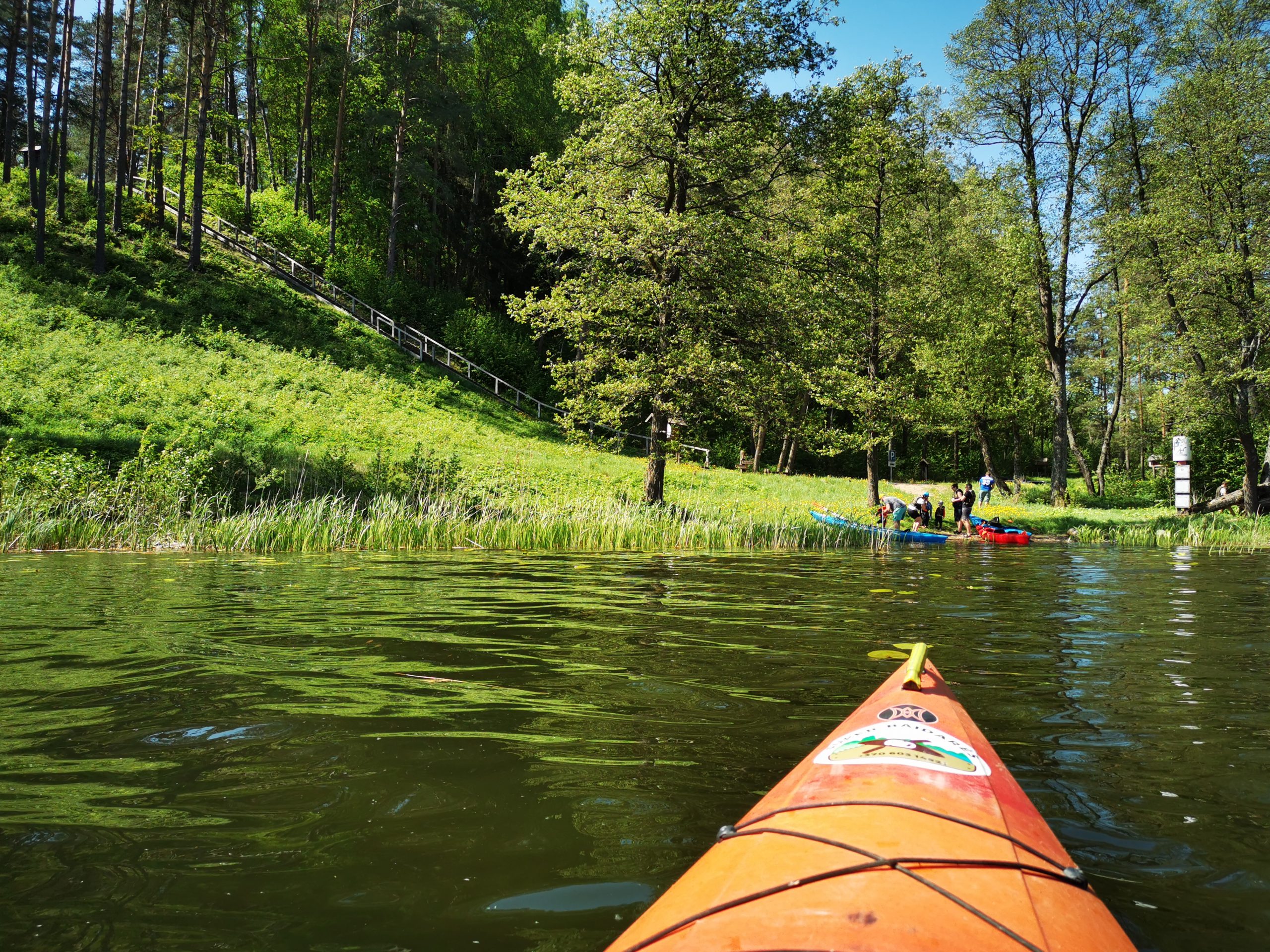
You will start the route at the Ineiga campsite.
It is a convenient place to prepare for a hike and to launch kayaks into the shallow riverbank.
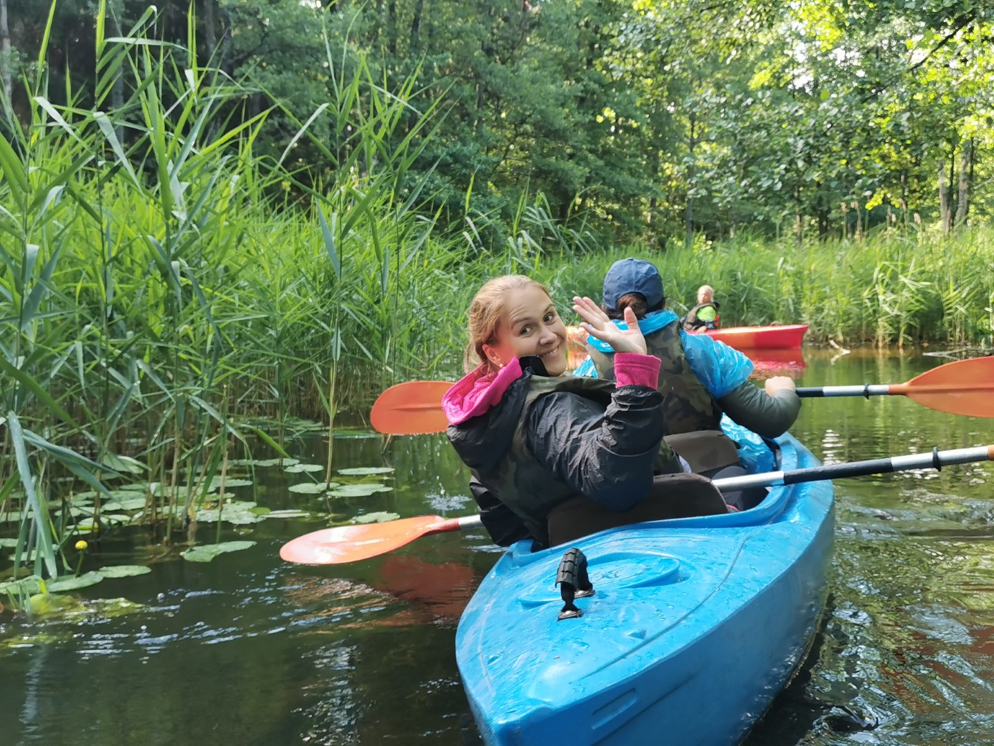
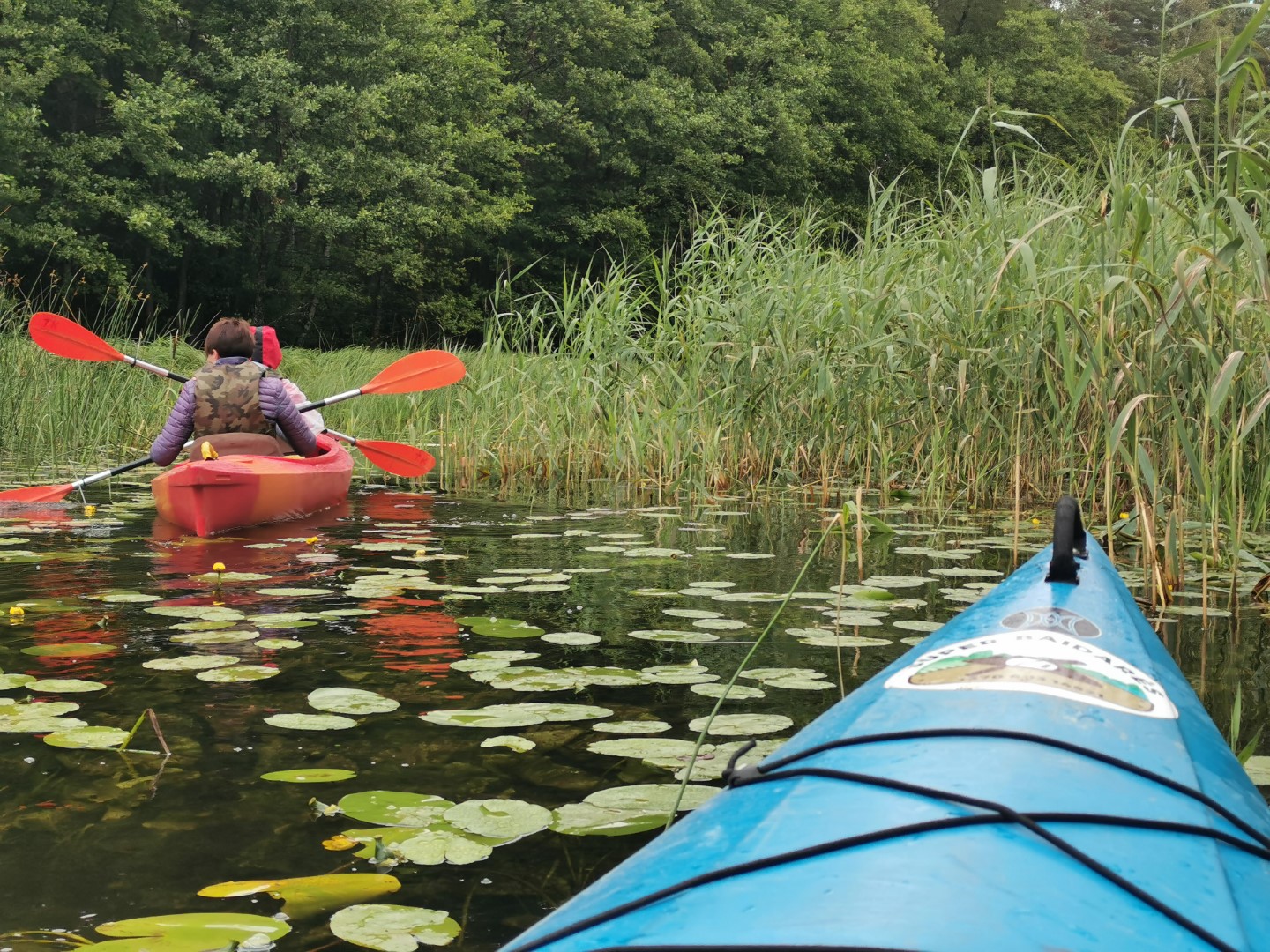
The Buka is a bit narrower than the usual big rivers, with fewer bends, so you never know what’s around the bend. As the river flows through wet forests, there is a greater variety of riparian vegetation and fewer convenient stopping places.
Soon you will be greeted by the lindens of the Vaišnoriškės village inhabitants, with their old folk-style buildings. The village is divided by the old Tauragnai-Braslavas road, which was an important part of the Vilnius-Riga trade route. Where the road crosses the Buka River, an old tavern, mentioned as early as 1765, used to stand on the right bank. The first manor house in the village was established in 1830, and later four more manors were established. The most mysterious building here was said to be the granary, where the sounds of the little houseboys living there are said to be heard.
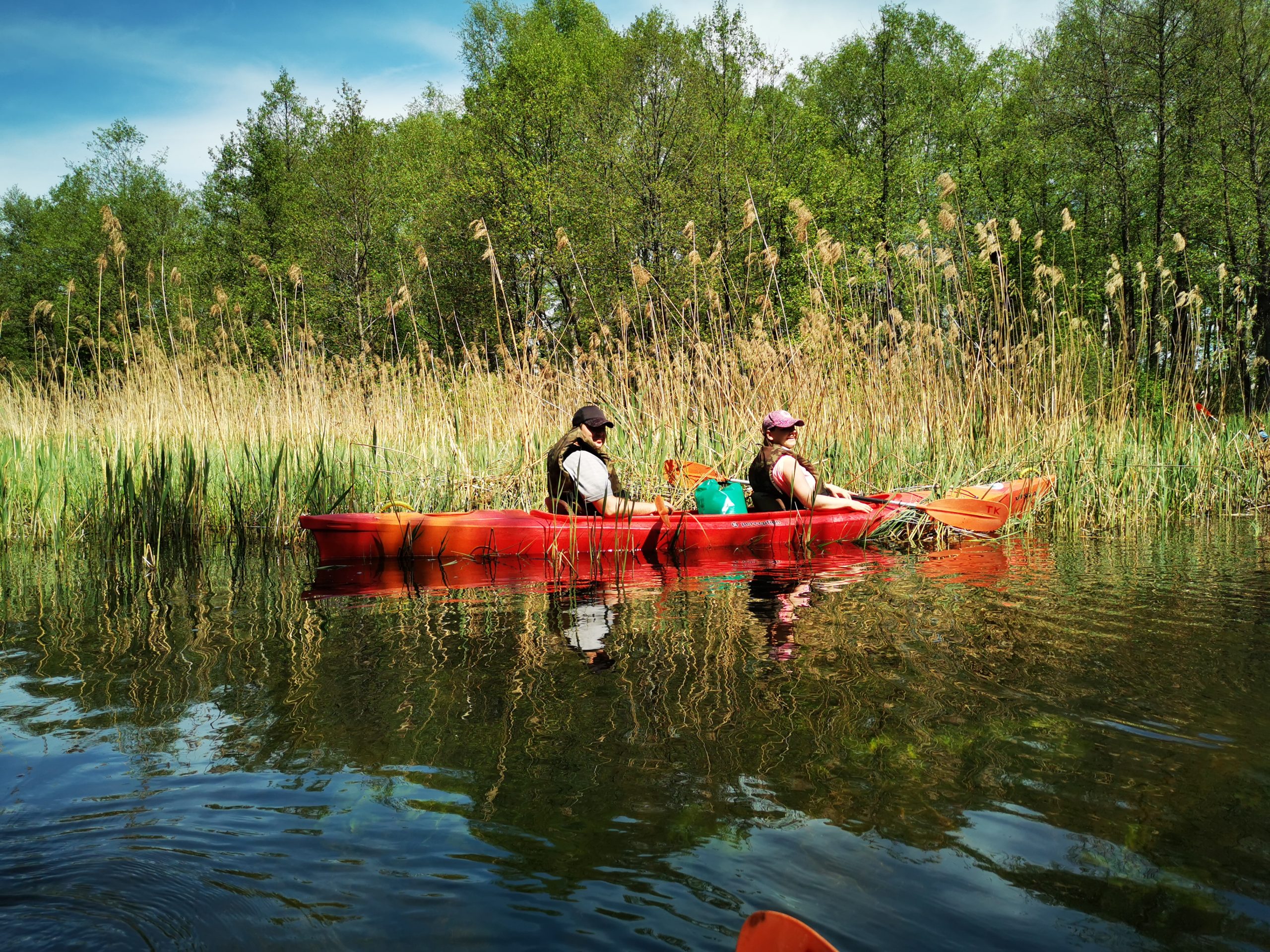
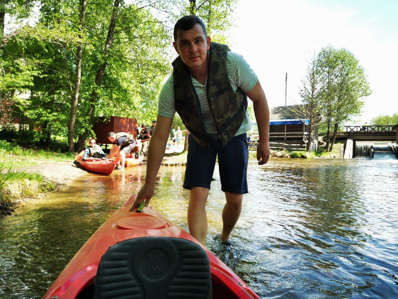
From the village of Vaišnoriškės, the river’s course becomes more meandering and the water flow stronger. Deeper potholes occur in the meanders. As you sail along, you will come across some spectacular tree collapses, the result of old trees falling from steep sandy cliffs into the river. In a few places, the kayaks may have to be moved over tree gates or towed ashore. Remember that when lifting a kayak over a tree fence, both team members must work in unison! Otherwise, unplanned bathing in the river waters may occur. It is, of course, an extreme adventure with good emotions. In some places, the river’s course forks in two. One of them is a false trail, ending in dead ends and cemeteries. Once you have reached the fork, use the movement of the aquatic plants to determine which branch of the river the water flows freely. Swim there.
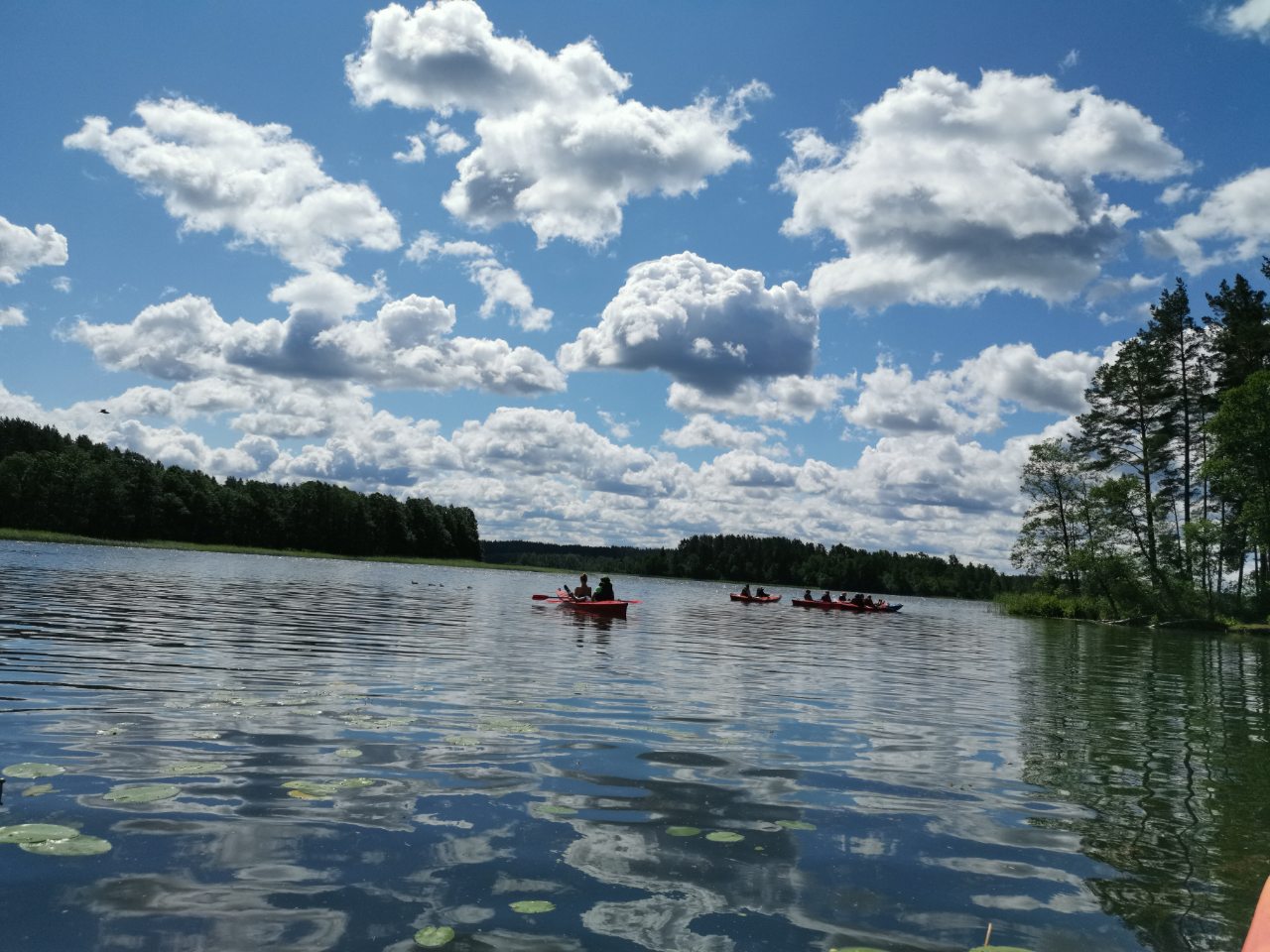
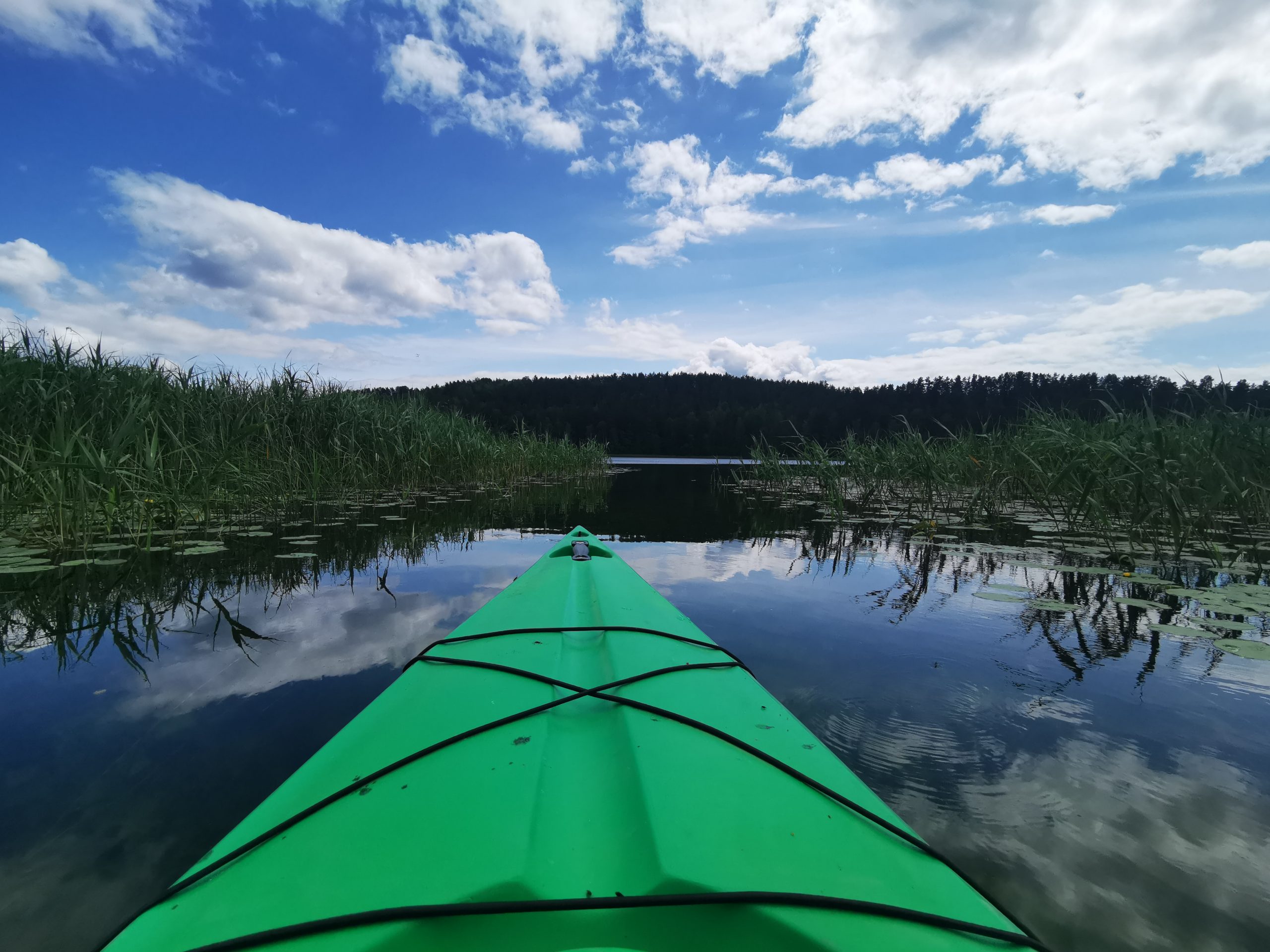
After admiring the views of Buka and overcoming all its obstacles, you will enter Lake Balchous. It offers a stunning landscape: the lake is home to 7 islands and a shoreline covered with pine forests. As you enter Balchusa, you will find Adomragi on your right. It’s a nice place to stay and have a meal. If you’re not sailing alone, you can wait here until your whole team is gathered. In Adomragi you will also find a great place for swimming. The atabrades are particularly clear at the very tip of the horn.
We strongly urge everyone – please do not leave rubbish behind. They can be disposed of at the overnight stay or at the finish line.
Continue southeastwards on Lake Balchous until you reach a concrete bridge connecting Lakes Balchous and Balchusykštys. It will be about 1.5 km. or a 15-20 minute swim. You need to aim for the opposite shore of the lake. To the left should remain Linden Island, to the right the promontory known as the Biržāragis. From the Beržāragis headland you will see a concrete bridge – you will have to swim under it.
A 150 m long stream flows out of Lake Baluošas. Its strong current will take your kayak to the small lake Baluošykštis. After leaving the villages of Simoniškis on your left and Vaidžiuškių on your right, follow the lake to the other end of the lake. There, on the left, you will see the source of the Skriogžlje stream among the spruce trees. The length of the Skriogžle is about 0.9 km. Its initially shallow channel gradually narrows and deepens. The stream has several sharp bends framed by steep, old tree-covered slopes. You may encounter a tree barrier, which can be overcome by “jumping” over it in a kayak propelled at high speed.
A few more bends and you will enter Lake Sravinitis. In Lake Sraviničis, keep to the right shoreline until you reach a promontory-shaped island, which you will pass on your left to reach the famous Ginučiai Water Mill (declared a state-protected technical monument of the 19th century). It has a museum where you can see authentic old-style mill equipment that not only milled grain for a long time, but even generated electricity. After landing on the right side of the watermill dam, take the kayaks over the dam (across the paved road to the other side, along the stream). Don’t miss the perfect opportunity to take a dip under the water jet coming out of the dam’s trough!
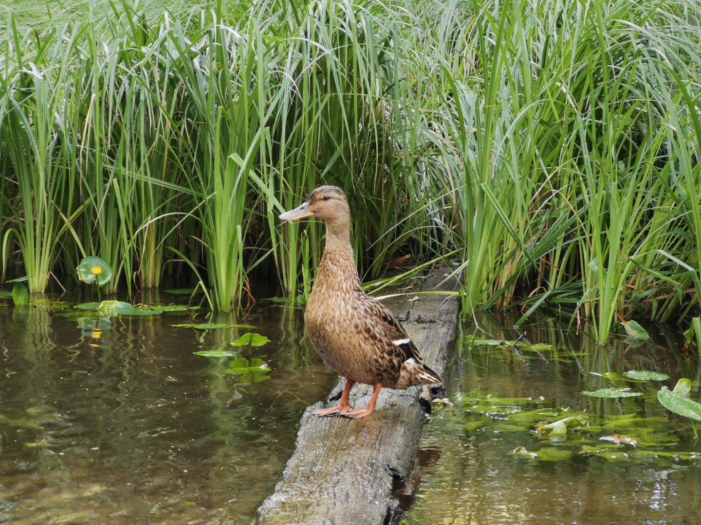
From the mill, continue along the River Srovė until the streams fork – you will need to turn left. Next, one of the most interesting parts of the journey is the village of Ginučiai. You’ll see beautifully landscaped farmhouses, lindens and pass under two bridges. After the village of Ginučiai, you will reach Lake Asėkas by following a stream. Keep to the right side of the lake until you reach the Asėka stream. It will feel like a jungle, and if you pause for a moment, even though the current is very calm, you will hear many wonderful bird sounds.
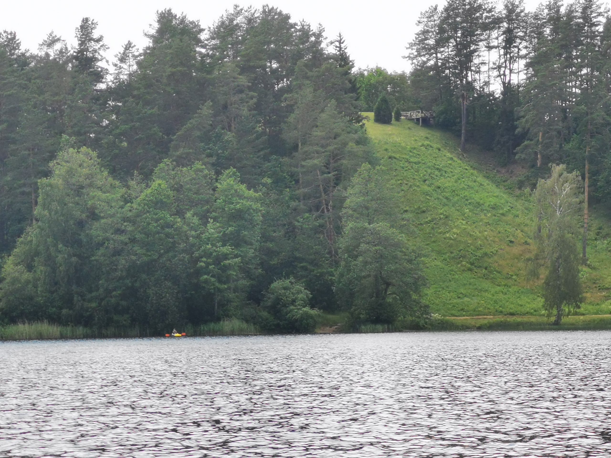
After crossing the Asėka River, you will enter Lake Linkmen, on the western shore of which you will see the famous Ladakalnis, a hill rising 176 metres above sea level. From its summit, the views are magnificent: vast expanses of forests and lakes drowning in forests. Enjoying the beautiful views created by nature, keep to the right and swim to the very end of the lake.
There will be a shallow shore at the foot of the Ginučiai Mound as a landing/finish area.